
Oni-no-Manaita and Oni-no-Setchin: Stone Remains and Ogre Folklore
Compare two exposed blocks from a dismantled stone chamber, then separate their archaeological interpretation from the story of an ogre's kitchen and privy.
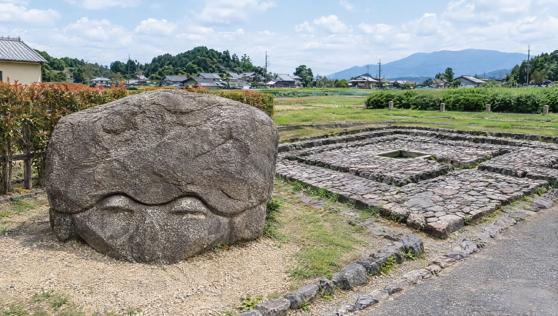 AI-generated visual study · not a documentary photograph
Discover Oni-no-Manaita and Oni-no-Setchin: Stone Remains and Ogre Folklore
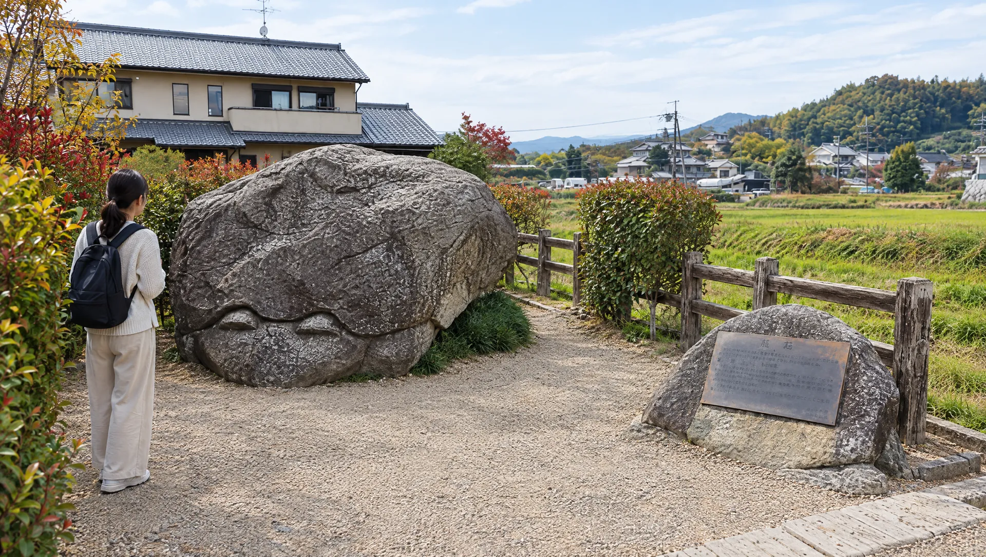
Oni-no-Manaita (the Ogre's Chopping Board) and Oni-no-Setchin (the Ogre's Privy) are two large stone remains on opposite sides of a road near the imperial mausoleum of Emperor Kinmei. Their memorable names come from a local story about an ogre who cooked travellers on one stone and used the other as a privy. That is folklore, not an account of a verified event. The Asuka preservation foundation explains the stones as parts of a stone burial chamber: the broad slab is interpreted as a floor stone, while the chamber-like block is associated with its roof or lid. The exact identity of the original burial and how the stones came to rest apart remain interpretive questions.
Two stones, one stop
The names refer to separate visible remains rather than one object. The preservation foundation places Manaita in Noguchi and Setchin in Hirata; the National Government Park says they stand on a small slope east of Kinmei's tomb, with a road between them. The preservation foundation gives Manaita as about 4.5 metres long and 2.7 metres wide, while the park rounds it to about 4 metres by 2 metres and records a thickness of about 1 metre. These are published approximations, not a new survey. The foundation describes Setchin's hollow as roughly 1.5 metres across and 1.3 metres high. Pause safely at each public viewing position and use the public road carefully between them. The map marker is only an approximate area reference.
Read the archaeology with appropriate caution
The Asuka preservation foundation identifies the stones as pieces of a horizontal-entry stone burial chamber and discusses the possibility that they belonged to a collapsed or unfinished satellite mound associated with Kinmei's tomb. The visible blocks alone do not identify a named occupant or settle that theory. The comparison with reconstructed chamber parts displayed at the Archaeological Institute of Kashihara Museum can help explain the form, but it does not prove the original tomb's identity.
The ogre story explains the names, not the stones' origin
Local tradition says travellers were caught in fog, cooked on the chopping-board stone and then the ogre used the privy below. The account gives the two objects an unusually vivid pair of names, but it should be presented as folklore. It is not archaeological evidence that an ogre lived here, nor proof of what the blocks were originally called.
Reach the pair on foot and plan the wider walk
Nara Prefecture estimates about ten minutes on foot from Kintetsu Asuka Station, the National Government Park about twelve minutes, and the Asuka preservation foundation about fifteen minutes. Treat these as estimates to the general area, not timed guarantees for both viewing points. Nara Kotsu's current model course also uses the Akakame loop bus to Tenmu–Jitōryō, then estimates about five minutes on foot to the stones; Asuka Village's current timetable page links a schedule valid from 1 September 2026 to 31 March 2027. Check the date-specific departure and return before travelling because rural service and timetable periods can change. The park includes the two stones in its Asuka circuit and estimates roughly three to four hours for the full 10 km walking course; that is the whole circuit, not the time needed at these stones. The park and preservation foundation list no parking at the pair. Do not stop on the road or block village access.
What to look for
Two distinct stone remains on opposite sides of a road
Burial-chamber interpretation separated from uncertain attribution
Ogre story presented as local folklore
Photo notes
Take photographs only from permitted public viewing positions; do not climb on the stones, cross barriers, block the road or photograph nearby residents without consent.
Make a day of it
Explore guides close to this map point, then check the actual route before travelling. Distances below are straight lines, not walking distances or travel times; map points may not be entrances.

Sources & editorial status
Original MyNara draft based on the linked sources. Sources reviewed 24 October 2026. Opening arrangements, prices and offers may change; use the operator's current information before travelling.
- Asuka preservation foundation — separate localities, dimensions, parking and archaeological interpretation (checked 2026-10-24)
- National Government Asuka Historical Park — 10 km route, paired-stone positions east of Kinmei's tomb (checked 2026-10-24)
- National Government Asuka Historical Park — stone dimensions, 12-minute station estimate and no parking (checked 2026-10-24)
- Nara Prefecture tourism — address, station access and contact (checked 2026-10-24)
- Asuka Village — Akakame loop bus and current timetable period (1 Sep 2026–31 Mar 2027; checked 2026-10-24)
- Nara Kotsu — current Asuka bus model course, Tenmu–Jitōryō stop and walk to the paired stones (checked 2026-10-24)
- Nara Prefecture cultural-property walking map — burial-chamber context