Mount Tamaki: Summit and Forest Paths Above the Shrine
Choose a signed mountain walk or viewpoint above Tamaki Shrine, but check the October 2026 summit-side closure before setting out.
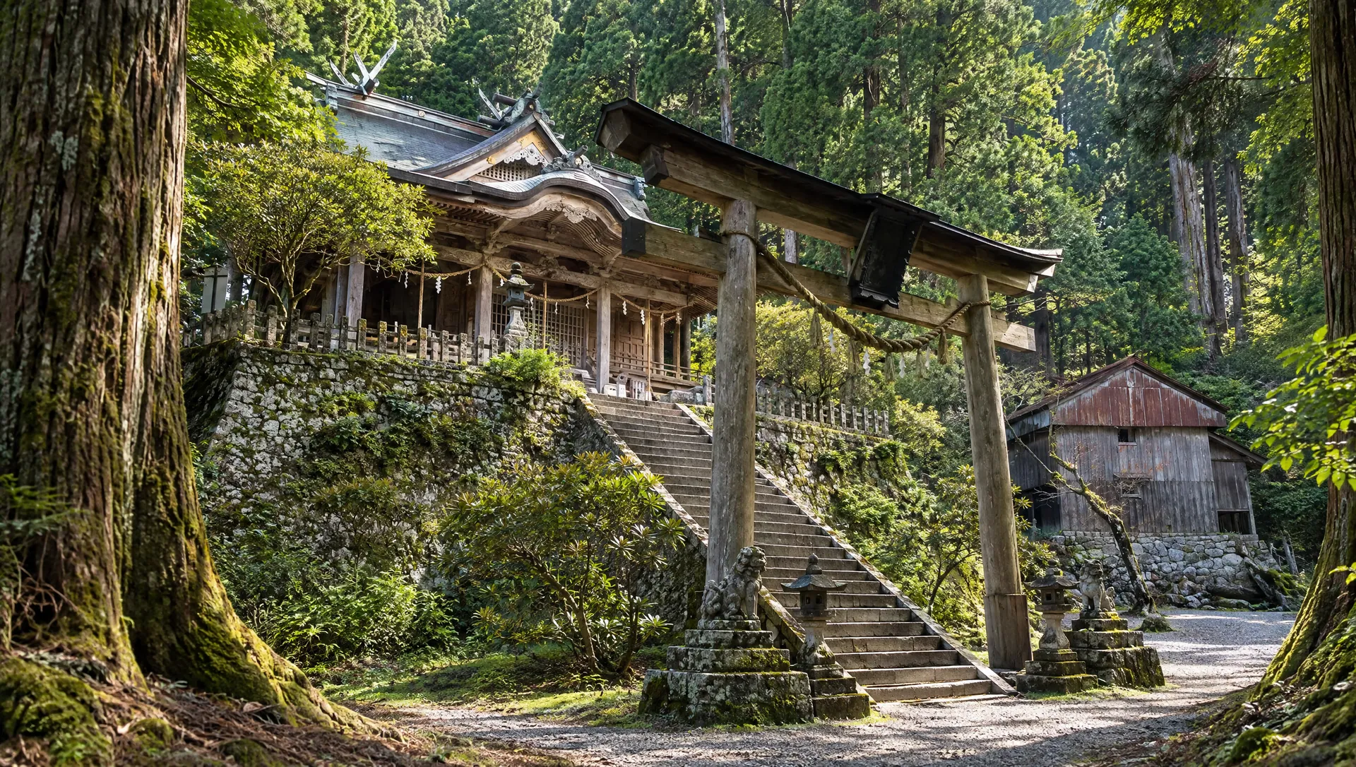
 Verified site photographs are being prepared.
Discover Mount Tamaki: Summit and Forest Paths Above the Shrine
Mount Tamaki rises above Totsukawa's folded valleys to a summit of about 1,076 metres. Tamaki Shrine is near, but below, the summit: seeing its ancient cedars or buildings is a different visit from walking to a viewpoint or completing a mountain circuit. The village publishes a dedicated map for short walks here, distinct from the long Ōmine-Okugake pilgrimage traverse. A shrine notice dated 13 October 2026 closes the path between Tamaishi-sha and the summit because of a tree-fall risk. The mountain is not a place to improvise a loop around that barrier.
Read the mountain as more than a shrine address
The prefectural mountain guide gives Mount Tamaki's elevation as 1,076.4 metres and describes the shrine at roughly the 1,000-metre level. The mountain belongs to the southern Ōmine pilgrimage landscape, where the steep terrain is part of the history of Shugendō practice. The summit, shrine precinct and roadside observatory have different approaches and sight lines; a map pin on the peak is not directions to a parking bay. On a clear day the prefecture says distant Kumano may be visible, but mist and cloud can erase that view.
Use the village's short-walk map
Totsukawa Village's 2026 walking-map page offers a Tamaki-area course sheet and expressly says it covers only the Tamaki and Shaka-dake areas, not the whole Yoshino-to-Kumano traverse. Use that sheet to distinguish the shrine car park, summit path, observatory and longer branches. Download it before entering the mountains; mobile reception, posted route changes and individual walking pace were not verified. A short-looking path on a tourist map can still be muddy or exposed to wind.
A current closure changes the summit circuit
Tamaki Shrine's road-and-path notice, updated 13 October 2026, reports a falling-tree hazard and closes the section from the subsidiary Tamaishi-sha to Mount Tamaki's summit. It says walkers can reach Tamaishi-sha from the shrine side but cannot continue to the summit, and cannot descend from the summit through that shrine-side section. Signs were installed at the car-park summit stairs, beside Manai-sha and at Tamaishi-sha. Do not follow an older circular-route map through the closed segment; ask the shrine or village about the currently permitted summit approach before starting.
Plan the mountain road and the return
Road access climbs well above the village's valley settlements. The shrine's October 2026 notice describes congestion around the mountain car park and some narrow approach roads; a special recommended one-way distribution was for 10–12 October, not a permanent instruction for every date. Shrine access pages and old pamphlets show bus examples, but they are not proof of a regular service today. Verify road restrictions, weather, parking and any reserved transport for the exact day. The prefecture's '24 hours' mountain listing does not mean the route is safe or lit after dark.
What to look for
Separate summit and observatory views from Tamaki Shrine
Village map for a short walk within the Ōmine pilgrimage landscape
Current Tamaishi-sha–summit closure that changes the loop
Photo notes
No mountain, trail or shrine photograph is licensed to MyNara. Stay on permitted paths and ask before photographing worshippers, ceremonies or shrine interiors; never move a barrier for a view.
SEASONAL CALENDAR
Events connected with Mount Tamaki: Summit and Forest Paths Above the Shrine
These records are shared with MyNara’s event calendar, so dates and notices have one source. Recurring patterns are not confirmed dated editions; check the organizer’s latest guidance.
Tamaki Shrine Annual Festival
Tamaki Shrine lists its annual festival for October 24. The official Nara travel guide highlights its distinctive forest mikoshi procession and rare dance, and describes the shrine as drawing Shugendō practitioners; it does not give a festival attendance figure. Totsukawa Village confirmed dedication performances by Shintotsukawa Town's Shishi Kagura Preservation Society and Musashi Odori Preservation Society in 2025 only. The shrine's 2026 dated notice welcomed worshippers and listed a 09:30 main ceremony and noon mochi toss, but does not confirm whether the procession or either performance occurred that year. Its notice is not an after-event report. Confirm the current programme, viewing terms and mountain access before travelling.
Check organizer informationMake a day of it
These are related stops near the map anchor, not measured stages of a route. Check the operator's access rules, current closures and signed paths before travelling.
Sources & editorial status
Original MyNara draft based on the linked sources. Sources reviewed 19 October 2026. Opening arrangements, prices and offers may change; use the operator's current information before travelling.
- Totsukawa Village — 2026 Tamaki walking map and scope
- Tamaki Shrine — 13 October 2026 summit-path closure and road updates
- Nara Prefecture — mountain height, observatory and Ōmine context
- Visit Nara — separate mountain identity and approximate map point
- UNESCO — Kii sacred landscape and pilgrimage routes