Ōmine-Okugake Trail: A Shugendō Traverse from Yoshino toward Kumano
A demanding sacred mountain traverse with short local walks, section-specific access rules and sharply different published total distances.
 Verified site photographs are being prepared.
Discover Ōmine-Okugake Trail: A Shugendō Traverse from Yoshino toward Kumano
The Ōmine-Okugake route joins the Yoshino and Ōmine sacred mountains with Kumano through a high ridge landscape shaped by Shugendō. It is a listed component of the Kii Mountain Range World Heritage property, not a single viewpoint or a path that can be planned from one map pin. There are short, separately mapped walks near Yoshino, Shaka-dake and Mount Tamaki, while the full mountain traverse requires experience, multi-day logistics and current route information. Two public tourism sources give very different overall lengths: Visit Nara describes a 93-kilometre Yoshino Station–Hongū itinerary, while Tenkawa and Totsukawa Villages describe an approximately 170-kilometre Yoshino–Kumano mountain way. The sources do not reconcile those route definitions; map the exact stages you intend to walk rather than trusting one headline number.
See a living training route, not just a World Heritage badge
UNESCO identifies Ōmine Okugakemichi separately from the Kohechi pilgrimage route. Its ridge path links religious places used in Shugendō, a Japanese mountain-ascetic tradition. Visit Nara highlights Yoshino, Ōminesanji and Tamaki Shrine along its route account; the village identifies former shuku, or ascetic practice sites, on the Totsukawa stretch. The history is not permission to enter every hall or follow practitioners into a ritual space. Keep this guide distinct from MyNara's individual shrine, mountain and hamlet pages.
Choose one mapped section before choosing the whole traverse
Visit Nara calls the Yoshino-to-Tamaki part roughly 75 km and its Yoshino Station–Hongū example 93 km, while Tenkawa Village calls Yoshino–Kumano about 170 km. Those figures are too divergent for MyNara to present a single total as a navigation fact. Totsukawa Village's 2026 official walking sheets cover only Shaka-dake and Tamaki areas and expressly direct through-walkers to a separate full-range map. For a first encounter, choose a defined local section with a real entry and exit, rather than assuming the small official sheets join into a complete route.
Respect the specific Sanjō-ga-take restriction
Tenkawa Village labels the route advanced and states that women may not enter Sanjō-ga-take. Visit Nara likewise describes the prohibition around Mount Ōmine and Ōminesanji. This is a restriction on that specific sacred mountain section, not a claim that women are barred from all walks in the much larger Ōmine range. Check the signed boundary and choose a permitted alternative section before travel if your group cannot use that portion. Do not regard an app's continuous line as authority to ignore local signs.
Arrange mountain logistics and check local closures
Tenkawa's example is a two-night, three-day route within its village from Dorogawa towards Sanjō-ga-take, Misen and Hakkyō-ga-take; it says the mountain lodging requires reservations and gives seasonal operating windows, which must be reconfirmed for the year of travel. Totsukawa's Shaka-dake trailhead forest road is normally closed in winter and can close for landslides. Near Tamaki, a 13 October 2026 shrine notice closes the Tamaishi-sha–summit spur for falling-tree risk; this is not evidence that the entire Ōmine traverse is closed. Download a current specialist mountain map, confirm the exact ridge/road/overnight plan with local authorities, and do not rely on MyNara's pin for trail navigation.
What to look for
World Heritage Shugendō route distinct from Kohechi
Choose an actual Yoshino, Tenkawa or Totsukawa section map
Check Sanjō-ga-take entry rules, lodging and Tamaki-area path notices
Photo notes
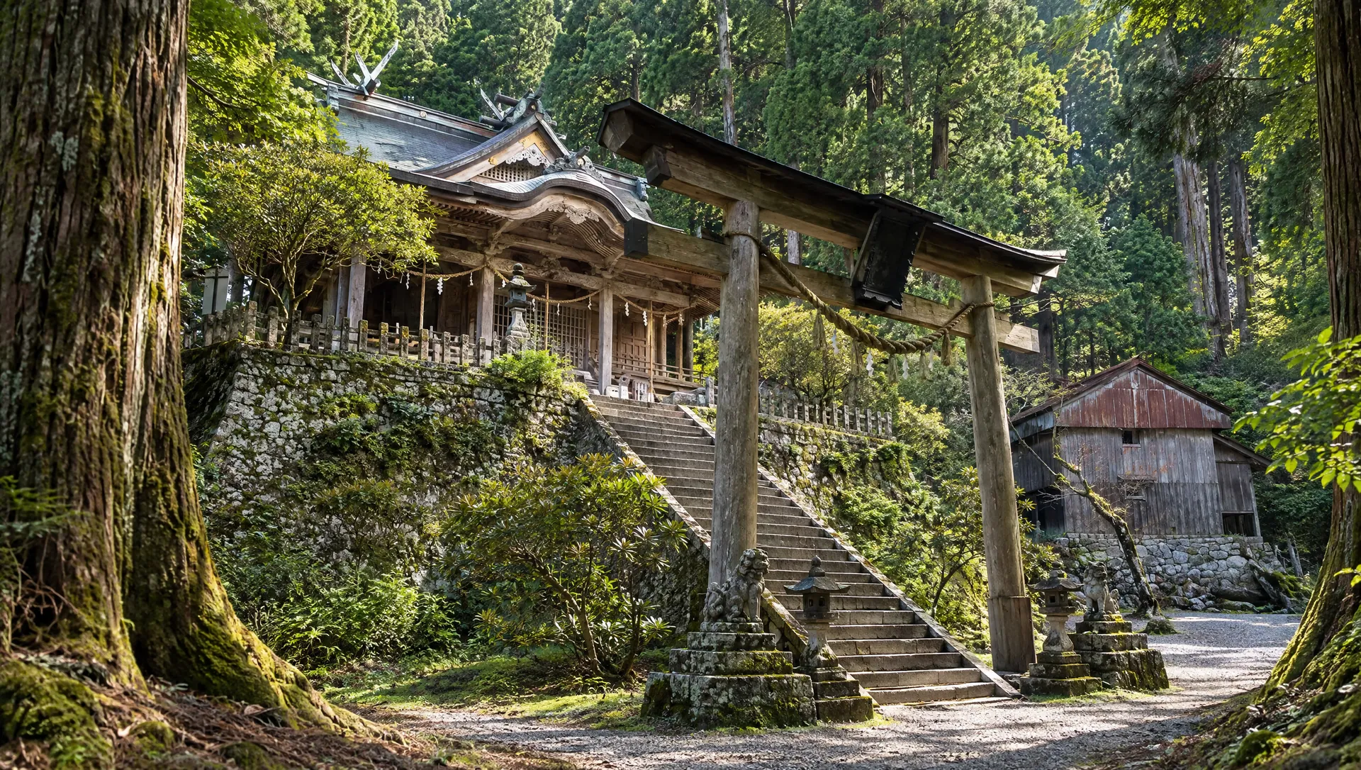
No Ōmine trail, ascetic, temple or shrine image is licensed to MyNara. Respect worship, local entry restrictions and any prohibition on photography; never photograph a participant or enter a closed spur for a view.
Make a day of it
These are related stops near the map anchor, not measured stages of a route. Check the operator's access rules, current closures and signed paths before travelling.
Sources & editorial status
Original MyNara draft based on the linked sources. Sources reviewed 19 October 2026. Opening arrangements, prices and offers may change; use the operator's current information before travelling.
- UNESCO — separate Ōmine Okugakemichi World Heritage component
- Tenkawa Village — advanced route, restricted section, example and lodging
- Totsukawa Village — 2026 local map sheets and full-traverse limit
- Totsukawa Village — Shaka-dake approach road winter rule
- Tamaki Shrine — 13 October 2026 summit-spur closure
- Visit Nara — 93 km itinerary wording and route identity
- Visit Nara — Yoshino, Tenkawa and Tamaki section context