
Tanize Suspension Bridge
Cross a 297-metre village footbridge 54 metres above the river, with a realistic bus or driving plan.
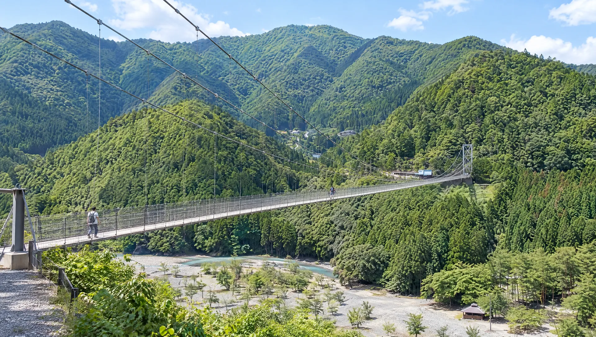 AI-generated visual study · not a documentary photograph
Discover Tanize Suspension Bridge
Tanize Suspension Bridge is a village road as well as a spectacular walk above the Totsukawa River. Residents built the bridge in 1954 to link Uenochi and Tanize; the long, lightly swaying crossing remains part of local movement. Pause on either bank to take in the valley, then cross with attention to people who need the bridge for everyday travel.
A working bridge, not a theme-park ride
The village records a length of 297 m and height of 54 m. The prefecture asks that no more than 20 people cross at once. Follow any on-site staff directions or temporary restrictions, keep the path moving and let local users through.
Decide whether this is a stop or a destination
Nara Kotsu's Yagi–Shingu long-distance bus makes a scheduled rest stop at Uenoji, near the bridge. A roughly 20-minute bus break is not the same as an unhurried crossing, photographs and a meal; if the bridge is your main goal, plan a separate return rather than assuming you can reboard after a long visit.
Parking and local manners
The village lists a paid municipal car park close to the bridge: currently ¥800 for a passenger car and ¥400 for a motorcycle. Crossing itself is free. It asks visitors not to park on the narrow road and not to disturb residents in the early morning or late night.
Take the valley view from the banks
The river, forested slopes and bridge structure read differently from each end. If you are uneasy with movement or height, the view from a bank is still a valid visit; do not force a crossing or stop suddenly midspan for a photograph.
What to look for
297 m crossing above the Totsukawa River
Views from both riverbanks
A bridge built for village life in 1954
Photo notes
Both banks offer a view without blocking the crossing. This is a public village road; ordinary photographs must not obstruct residents. Road closure or occupation for filming requires a village application.
Make a day of it
Explore guides close to this map point, then check the actual route before travelling. Distances below are straight lines, not walking distances or travel times; map points may not be entrances.
Sources & editorial status
Original MyNara draft based on the linked sources. Sources reviewed 19 October 2026. Opening arrangements, prices and offers may change; use the operator's current information before travelling.
- Official Nara Travel Guide
- Totsukawa Village — dimensions, parking and fees
- Nara tourism network — access, bridge capacity and listed regular holidays
- Nara Prefecture — bridge history, landscape and 20-person limit
- Totsukawa Village — visitor manners
- Totsukawa Village — filming guidance
- Nara Kotsu — Yagi–Shingu service and Uenoji rest stop