Wakakusa–Kasuga Nature Trail: From Open Hillside to Sacred Forest
Choose a short 80-minute descent or a longer forest traverse, with separate access rules for Wakakusa's paid hillside and Kasuga's public trail.
 Verified site photographs are being prepared.
Discover Wakakusa–Kasuga Nature Trail: From Open Hillside to Sacred Forest
This walk links two landscapes that are often treated as separate stops: the open, grass-covered slopes of Mount Wakakusa and the shaded paths around Kasuga's protected woodland. The change is part of the experience. One moment the city, temple roofs and Nara Basin open below you; later the route narrows into trees, old road corridors and the sound of water. There is no single trail length or universal start point. Nara Prefecture publishes several route examples, from a roughly 80-minute hill-and-forest descent to a 210-minute traverse of the Kasugayama trail. Planning the direction, the mountain gate and the return bus matters more than following a generic map pin.
Pick a route that fits your day
Nara Prefecture's current hiking guide gives three useful examples rather than one mandatory itinerary. The shorter link starts at either Mount Wakakusa gate, climbs about 1.4 kilometres to the summit lookout in roughly 40 minutes, then descends about 2.3 kilometres by the Kasugayama trail to its north entrance in another roughly 40 minutes. A longer forest walk runs about 9.4 kilometres from the north entrance to the south entrance and is estimated at 210 minutes; adding the Wakakusa lookout and Uguisu Falls produces an option of about 11.6 kilometres. A third, roughly 180-minute line approaches from Asuka Junior High via Takisaka-no-michi and the old Yagyu Road before climbing Wakakusa. These are planning estimates. They do not include your photo stops, rests, bus waits or weather delays, and the third route is not a simple loop back to town.
Understand the two different access systems
The mountain's south and north gates are seasonal and charge an admission fee. Nara Prefecture lists the usual opening period as the third Saturday in March through the second Sunday in December, 9:00–17:00, with individual gates potentially applying an earlier last-entry time. The forest walking trail is a separate public route; do not assume the mountain gates and forest entrances open or close together. For the short cross-hill route, check the specific gate before setting out. Outside the mountain's walking season, the longer forest approach may still be possible where the trail is open, but choose a route that does not depend on entering the closed hill. Check official notices for temporary closures before travel.
Notice the transition from view to woodland
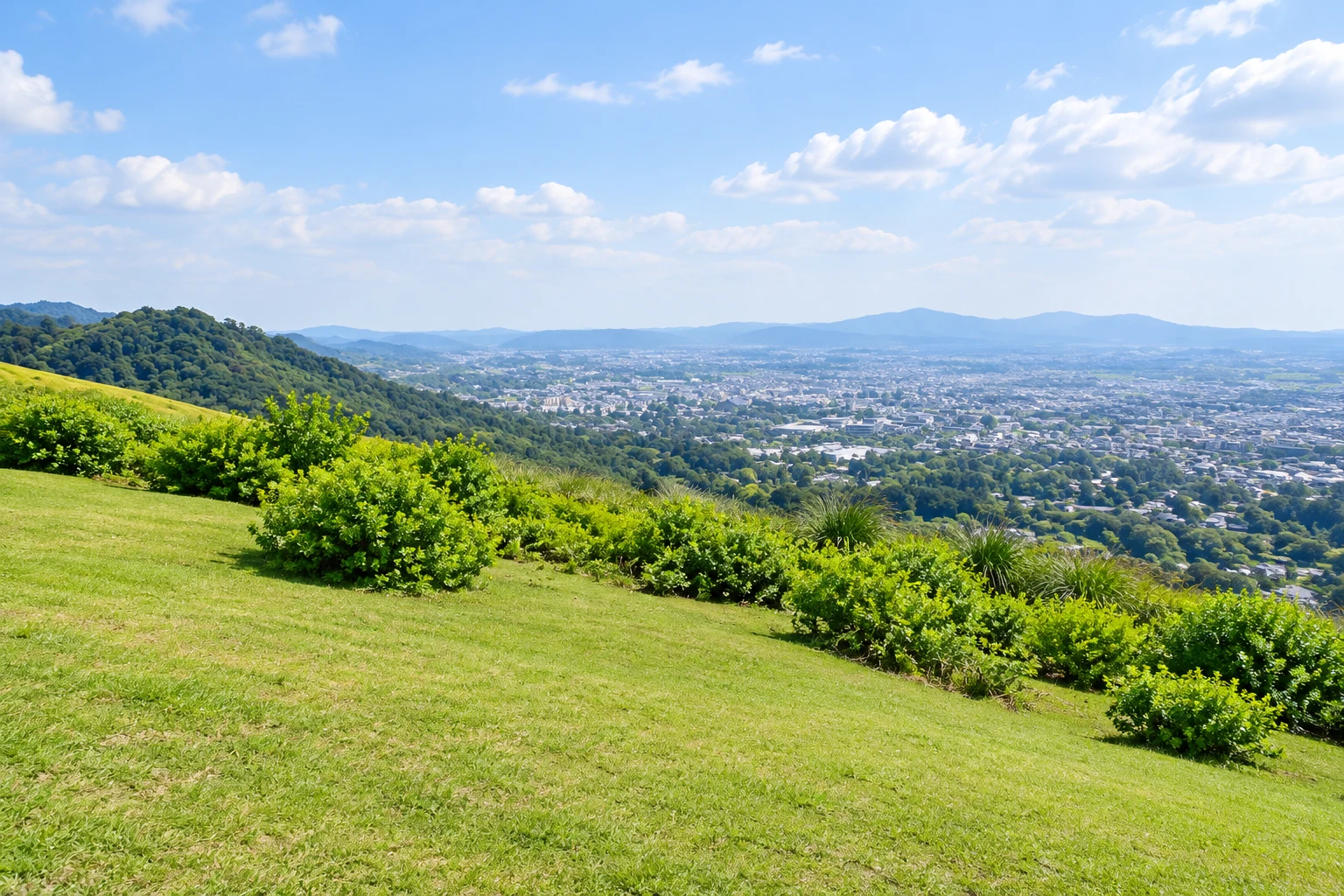
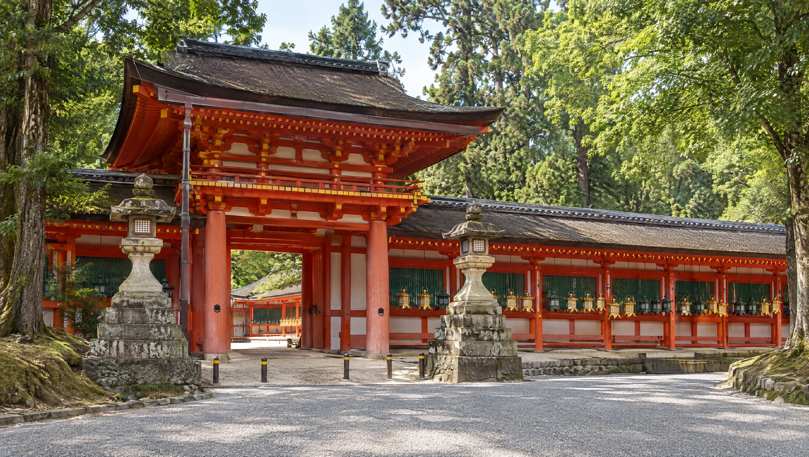
From Wakakusa's upper slope, the view shifts from the deer park and temple precincts to the wider Nara Basin. At the forest edge, the scale changes: trunks, shade, birds and the route itself take the foreground. Kasugayama has been protected in connection with Kasuga Taisha for more than 1,100 years and is designated a Special Natural Monument. UNESCO includes it within a cultural World Heritage property, not as a natural-heritage site. The prefecture's route map also identifies Uguisu Falls and the stone-paved Takisaka-no-michi with its roadside stone figures. Treat these as parts of a living, protected landscape: stay on the marked path, leave plants and wildlife undisturbed, and keep the quiet of shrine country in mind.
Expect a real mountain walk
The prefecture cautions that sections of the Kasuga Okuyama road are one-way for vehicles but shared with pedestrians, bicycles and motorcycles. Some of its longer hiking examples follow this road. Stay alert at bends, move to the side when safe and do not assume the route is a traffic-free forest footpath. The descent from Wakakusa can be steep, and forest trails can be uneven or damp. Wear shoes with grip, carry water and a route map, start early enough to finish in daylight, and shorten the plan if rain or fatigue changes conditions. On Nara Marathon day, the prefecture says the road's usual one-way traffic arrangement changes; check the event-day notice.
Plan the start and finish separately
From JR or Kintetsu Nara, the prefecture lists buses to Kasuga Taisha Honden, followed by about ten minutes on foot to a forest-trail entry. Another approach is the city-loop bus to Wariishicho, then about fifteen minutes on foot to a trail start. For a north-to-south traverse, identify both ends and check the return connection before you leave; a forest-area pin does not mark either trailhead. Nara Kotsu's 2026 Wakakusa Hilltop Bus is a separate summit sightseeing service from the stations, with a scheduled 45-minute stop and a listed return fare of ¥2,000 for adults and ¥1,000 for children. Its 2026 notice says it runs 1 April–12 December and offers Japanese, English and Chinese audio; the schedule and seats are date-bound, so confirm with the operator. The bus does not replace the mountain's walking-gate admission or the forest hike.
What to look for
Official short route example: about 3.7 km total and 80 minutes
Long forest traverse: about 9.4 km / 210 minutes; a waterfall-and-viewpoint option is about 11.6 km
One itinerary joins a seasonal paid hillside with a separate forest trail and shared road
Photo notes
MyNara has no licensed route photograph for this guide. Do not reproduce images from Nara Prefecture, the tourism association or Visit Nara without permission. Keep to designated paths and any posted photography restrictions; commercial filming or organised activity may require advance permission from the park office or shrine authorities.
Make a day of it
Explore guides close to this map point, then check the actual route before travelling. Distances below are straight lines, not walking distances or travel times; map points may not be entrances.
Sources & editorial status
Original MyNara draft based on the linked sources. Sources reviewed 19 October 2026. Opening arrangements, prices and offers may change; use the operator's current information before travelling.
- Nara Prefecture — official hiking route examples, distances, estimated times and safety notices (updated 27 February 2026)
- Nara Prefecture — Kasugayama forest access, conservation, trail entrances and vehicle-road distinction (updated 27 February 2026)
- Nara Prefecture — Mount Wakakusa seasonal gates, admission, access and summit features (updated 27 February 2026)
- Nara Kotsu — 2026 Wakakusa Hilltop Bus dates, return fares, timetable, reservation and multilingual audio
- Visit Nara A01078 — trail identity and directory-level visitor overview
- Nara City Tourism Association — Mount Wakakusa visitor overview and access